Gulf Islands National Seashore
Gulf Islands National Seashore protects a remarkable coastal landscape extending approximately 160 miles from Cat Island in Mississippi to the eastern end of Santa Rosa Island in Florida. More than 80 percent of the national seashore lies underwater, preserving bays, sounds, and marine habitats as well as the visible shoreline. Its most prominent features are the long barrier islands separating the mainland from the open waters of the Gulf of Mexico.
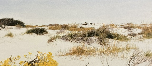
The islands are constantly being reshaped by waves, currents, winds, and hurricanes. Sand carried from the Appalachian Mountains over thousands of years was deposited along the Gulf Coast, creating beaches composed largely of fine white quartz. These brilliant sands, together with the Gulf’s blue-green water, give the national seashore its distinctive appearance. Dunes held together by sea oats and other coastal plants provide habitat for shorebirds, sea turtles, and numerous other species.
Congress established Gulf Islands National Seashore on January 8, 1971, through legislation signed by President Richard Nixon. The protected area brought together barrier islands, coastal waters, historic forts, maritime forests, bayous, and mainland properties in two states.
Walking among the white dunes reveals a landscape that appears peaceful yet is always changing. Storms can flatten dunes, open new channels, and move entire sections of shoreline. The grasses and shrubs visible across the sand are part of the natural process through which the islands rebuild themselves after wind and water reshape them.
Our visit offered a chance to experience a national park that exists as much beneath the water as it does upon the land. Gulf Islands National Seashore protects more than beautiful beaches. It preserves a living coastal system in which water, sand, wildlife, history, and human activity remain closely connected.
Read More From Nancy
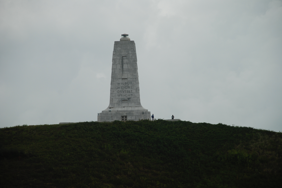
Wright Brothers National Memorial
When visiting the Outer Banks of North Carolina, Erin and I spent a day at the Wright Brothers National Memorial, the very place where powered flight first lifted off the plane and changed human history. Set in Kill Devil Hills, the memorial preserves the windswept dunes where Wilbur and Oliver Wright achieved the world’s first successful, […]
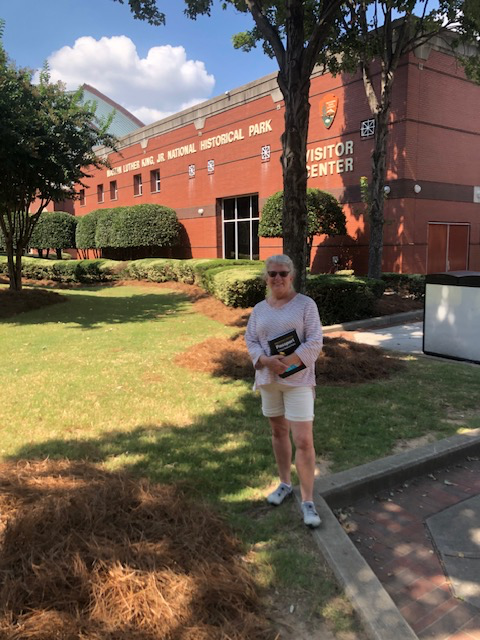
Martin Luther King Jr. National Historical Park
We have visited Martin Luther King Jr. National Historical Park many times over the years, and each visit unfolds a little differently. Originally, this area was established in 1980 as an Historic Site by Jimmy Carter. It was later redesignated as a National Historical Park in 2018, expanding its recognition and preserving the broader legacy of Dr […]
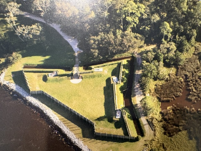
Fort Caroline National Memorial
Fort Caroline National Memorial preserves the story of France’s attempt to establish a permanent colony in Florida during the 16th century. In 1564, an expedition led by René Goulaine de Laudonnière constructed a triangular fort near the St. Johns River. The settlement was named La Caroline in honor of France’s King Charles IX. Many of […]