Hopewell Rocks
Along the shore at Hopewell Cape, towering rock formations rise above the tidal flats, their narrow bases supporting broad tops crowned with trees. Known as the Hopewell Rocks, these sea stacks are often called “flowerpots” because of their distinctive shapes and vegetation. At low tide, visitors can walk among them; at high tide, water surrounds the formations and covers the ground where people stood only hours earlier.
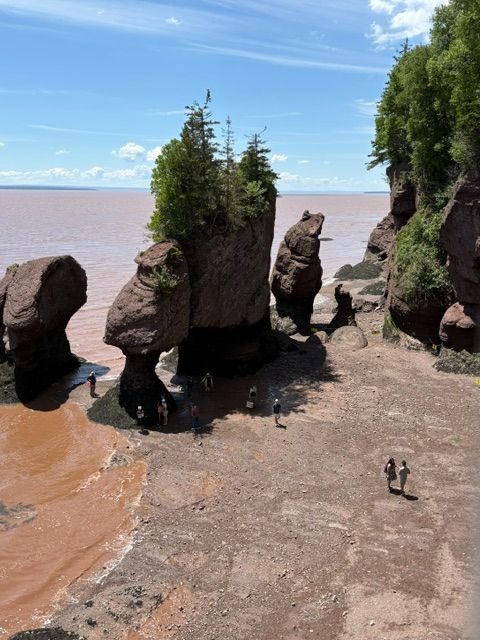
The rocks began forming long before the modern shoreline existed. Approximately 350 million years ago, rivers carried gravel, sand, and other sediment from the nearby Caledonia Highlands. Over time, these deposits became layers of conglomerate and sandstone. The pebbles embedded in the conglomerate preserve evidence of that ancient landscape and the rivers that transported its weathered material.
Much later, erosion began shaping the cliffs into the formations visible today. Water worked into fractures, while frost, salt, and wave action weakened and removed rock. Caves and arches developed in vulnerable sections of the shoreline. When connecting portions collapsed, isolated pillars remained. Continued erosion around their bases helped create the narrow stems and wider tops characteristic of the flowerpot formations.
The Bay of Fundy’s tides give this landscape its constantly changing setting. Twice each day, the rising and falling water transforms the shoreline. The interpretive panel at the overlook places photographs of the rocks at low and high tide side by side, showing how dramatically the same location changes. Seeing both stages reveals the height of the water’s movement in a way that a single view cannot.
Our photographs show people exploring the exposed shore beneath the formations. Their presence provides a sense of scale: the visitors appear small beside the massive pillars, while trees grow high above them. From the overlook, the reddish-brown water stretches beyond the rocks, connecting this close view of the shoreline with the wider bay.
The Bay of Fundy’s tides give this landscape its constantly changing setting. Twice each day, the rising and falling water transforms the shoreline. The interpretive panel at the overlook places photographs of the rocks at low and high tide side by side, showing how dramatically the same location changes. Seeing both stages reveals the height of the water’s movement in a way that a single view cannot.
Hopewell Rocks is a landscape still taking shape. The same processes that created its pillars continue to alter them, gradually wearing away surfaces and sometimes bringing sections down. Its familiar formations represent one moment in a much longer geological story of ancient sediment reshaped by weather and water along a coast that changes with every tide.
Read More From Nancy
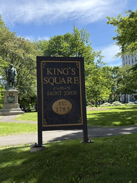
King’s Square
At the center of Uptown Saint John is King’s Square, a public space that has served the city since its earliest years. Named for King George III, the land was granted to Saint John through the royal charter that incorporated the city in 1785. Its history therefore began alongside that of Saint John itself, which […]
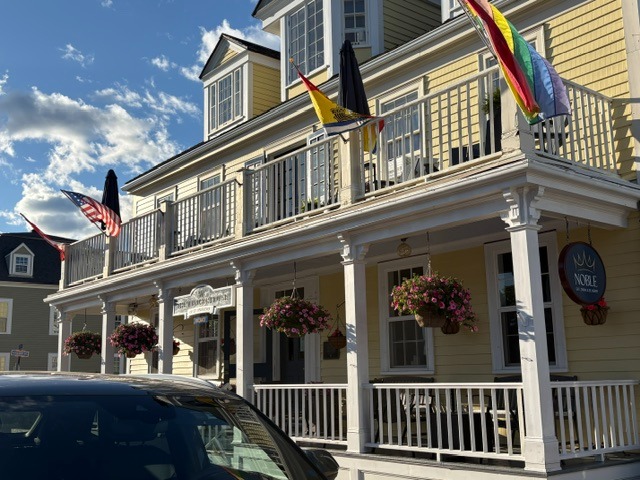
Windsor House
At 132 Water Street in St. Andrews, Windsor House preserves the story of a Loyalist family home that later became a place of hospitality. Built in 1797 for Captain David Mowat and his wife, Mehitable Calef, the wooden house dates from the town’s early development. Its balanced façade, central entrance and side-gabled roof reflect the […]
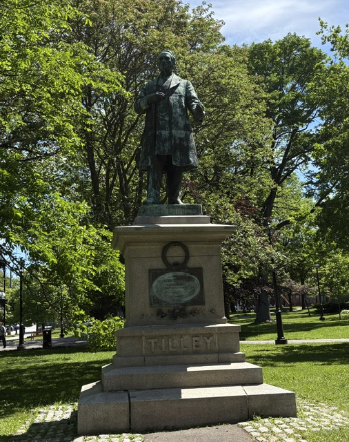
Sir Samuel Leonard Tilley
The statue standing in King’s Square honors Sir Samuel Leonard Tilley, a New Brunswick politician who helped create Canada, and who is traditionally credited with giving the new country its original title, the Dominion of Canada. Born in Gagetown in 1818, Tilley moved to Saint John as a teenager to apprentice with a pharmacist. He […]