Sleeping Bear Dunes National Lakeshore
Some of America’s most remarkable landscapes were not shaped by rivers or mountains, but by ice. Sleeping Bear Dunes National Lakeshore preserves one of the finest examples of how glaciers transformed the Great Lakes region, creating a landscape where towering dunes, forests, inland lakes, islands, and miles of Lake Michigan shoreline exist side by side.
Established on October 21, 1970, Sleeping Bear Dunes National Lakeshore protects more than 71,000 acres along a thirty-five-mile stretch of Lake Michigan’s eastern shoreline. The park also includes North and South Manitou Islands, adding another dimension to a landscape that has been shaped by wind, water, and ice over thousands of years.
The story of Sleeping Bear Dunes began at the end of the last Ice Age. As massive glaciers retreated approximately 12,000 years ago, they carved the Great Lakes and left behind enormous deposits of sand, gravel, and stone. Strong prevailing winds blowing across Lake Michigan gradually carried the sand inland, building dunes that continue to shift and change today. Some of these dunes rise more than 400 feet above the lake, making them among the tallest freshwater coastal dunes in the world.
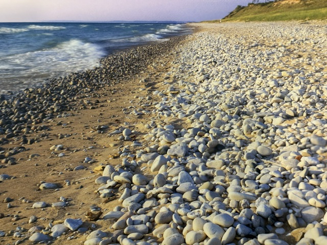
The rounded stones scattered across the shoreline tell another part of that geological story. These rocks were carried south by glaciers from Canada and northern Michigan before being deposited as the ice melted. For thousands of years, the waves of Lake Michigan have rolled them back and forth, smoothing their rough edges until they became the polished stones that now line the beaches. Every stone is a small reminder of the immense forces that shaped this landscape.
The name “Sleeping Bear” comes from an Anishinaabe (Ojibwe) tradition. According to the story, a mother bear and her two cubs fled a great forest fire by swimming across Lake Michigan. The cubs struggled against the waves and disappeared beneath the water, becoming North and South Manitou Islands. The mother bear reached the eastern shore and waited faithfully for her cubs to return. Over time, the Great Spirit covered her with sand, forming the great dune that became known as Sleeping Bear. Whether viewed as history, legend, or cultural tradition, the story reminds visitors that this landscape has held meaning for Indigenous peoples long before it became part of the National Park System.
Visiting Sleeping Bear Dunes reminded me that some of our National Parks are best understood through the forces that created them. Here, glaciers shaped the land, winds built the dunes, waves polished the stones, and time continues to refine the landscape. It is a place where geology remains an active process rather than simply a chapter of the distant past.

Read More From Nancy
Pictured Rocks National Lakeshore
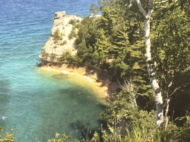
Pictured Rocks National Lakeshore in Munising, Michigan, was the first National Lakeshore established in the United States when it was created in 1966. Stretching for more than 40 miles along the southern shore of Lake Superior, it preserves a remarkable landscape of colorful sandstone cliffs, secluded beaches, waterfalls, forests, sand dunes, and crystal-clear water. Erin […]
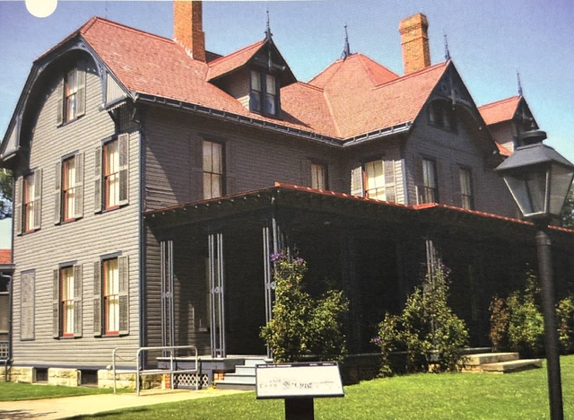
James A. Garfield National Historic Site
When my love for National Parks combines with my fascination with the lives of our presidents, I am always willing to travel out of my way to explore. During a family cross-country trip, we made a stop at the James A. Garfield National Historic Site in Mentor, Ohio, to learn more about one of America’s […]
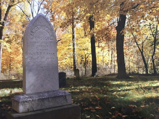
Lincoln Boyhood National Memorial
Lincoln Boyhood National Memorial in Lincoln City, Indiana, preserves the farm where Abraham Lincoln spent fourteen of the most formative years of his life. Established as a National Memorial in 1962, the site commemorates the years from 1816 to 1830, when the Lincoln family settled on the Indiana frontier and young Abraham grew from a […]