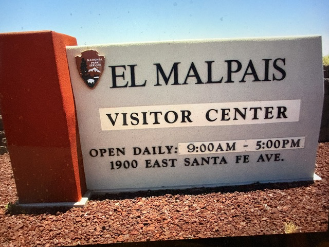
El Malpais National Monument
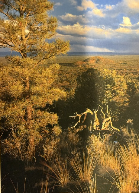
One of the striking landscapes we encountered at El Malpais National Monument in western New Mexico was the view of the volcanic cinder cones rising above a sea of lava flows, grasslands, and forests. Created by eruptions thousands of years ago, these cones are part of a vast volcanic field that has shaped the region’s rugged beauty. The name El Malpais, Spanish for “The Badlands,” was given by early Spanish travelers who found the rough and broken lava terrain difficult to cross.
The cinder cones, formed from ash and fragments of volcanic rock thrown into the air during eruptions, stand in sharp contrast to the surrounding juniper and ponderosa pine forests. Some of the lava flows preserved here are only about 3,000 to 4,000 years old, making them relatively young in geologic terms. The volcanic activity also created one of the longest lava tube cave systems in North America, with several caves open to visitors.
For thousands of years, Native peoples, including the ancestors of today’s Pueblo communities, traveled through and lived in this region. Ancient trails, petroglyphs, and archaeological sites testify to a long human presence. In the nineteenth century, pioneers and traders followed portions of the Zuni-Acoma Trail across the lava fields, and remnants of these routes can still be seen today.
Established as a national monument in 1987 by President Ronald Reagan, El Malpais preserves nearly 115,000 acres of extraordinary geological and cultural resources. Together with the neighboring El Morro National Monument, the two parks tell the story of both the powerful forces that shaped the land and the generations of people who depended upon it. What appears to be a quiet and timeless landscape was once the scene of dramatic volcanic eruptions. Today, it remains one of New Mexico’s most fascinating and least crowded national treasures, offering visitors a glimpse into both the Earth’s ancient past and the enduring history of those who called this landscape home.

Read More From Nancy
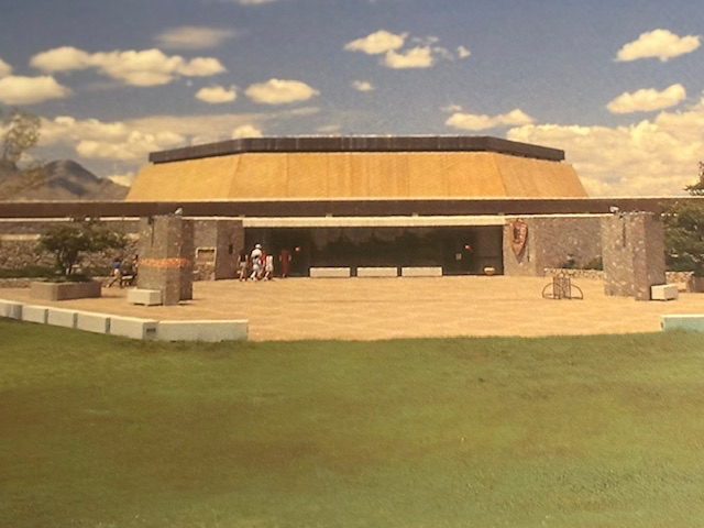
Chamizal National Memorial
The Chamizal National Memorial in El Paso is not a memorial of war or conflict, but one that marks the peaceful resolution of a long-standing international dispute. The land known as: “El Chamizal” became contested in the mid-1800s when the Rio Grande shifted its course, changing the boundary between the United States and Mexico. What […]
Fort Smith
While traveling around Arkansas, I visited Fort Smith National Historic Site. This fort was established in 1817, as a U.S. military post to project federal presence on a volatile frontier. From the beginning, it served as a gateway to the West, a place where eastern law met western uncertainty. The strategic position of this fort made […]
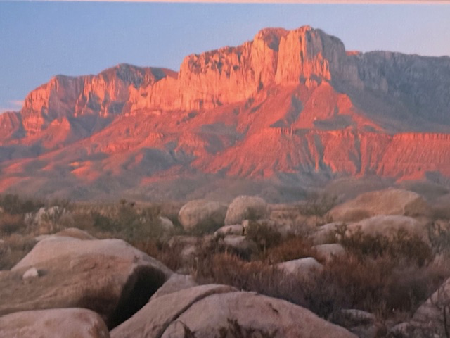
Guadalupe Mountain National Park
Exploring the national parks of Texas takes a commitment and the willingness to spend long hours on the road. Driving around Texas is unlike traveling through New England, where towns and landmarks seem to come one after another. Here, the distance stretches out, and I would drive for miles with little interruption. As I made my […]