Delaware Water Gap National Recreation Area
Delaware Water Gap National Recreation Area protects approximately 40 miles of the Middle Delaware River and nearly 70,000 acres along its Pennsylvania and New Jersey shores. Forested mountains rise above the river as it passes between ridges, creating the dramatic opening known as the Delaware Water Gap. Waterfalls, ravines, wooded trails, and historic communities are preserved throughout this long river corridor.
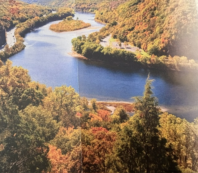
The landscape has supported human life for thousands of years. Indigenous people traveled along the river, hunted in its forests, and established settlements within the valley. European colonists later created farms, mills, ferries, villages, and roads along the same natural travel corridor. Remnants of those communities survive in historic buildings, archaeological sites, old roadways, and cemeteries scattered throughout the recreation area.
The park’s creation grew out of a controversial federal plan to build the Tocks Island Dam across the Delaware River. The proposed project would have created a large reservoir for flood control, water storage, and recreation. In preparation, the government acquired thousands of acres and displaced families from longstanding river communities. Homes were purchased, villages were emptied, and numerous buildings were demolished before environmental concerns, rising costs, and public opposition brought the dam project to a halt.
President Lyndon B. Johnson signed the legislation establishing Delaware Water Gap National Recreation Area in1965. The recreation area was initially intended to surround the proposed reservoir, but when the dam was never constructed, the National Park Service was left with something very different: a largely free-flowing river bordered by protected forests and historic landscapes. In 1978, Congress added this section of the Delaware to the National Wild and Scenic Rivers System, ensuring that its natural character would be preserved. Delaware Water Gap National Recreation Area preserves both the beauty of the Middle Delaware River and the remains of the communities that developed along its banks.
Read More From Nancy
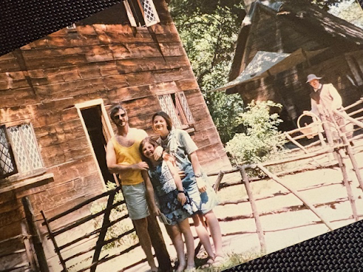
Booker T. Washington National Monument
During our 1996 family road trip to Atlanta for the Olympic Games, one of the historic sites we stopped along the way was Booker T. Washington National Monument in rural southwestern Virginia. Tucked into the rolling countryside, the site preserves the birthplace and early childhood environment of one of the most influential African American leaders in […]
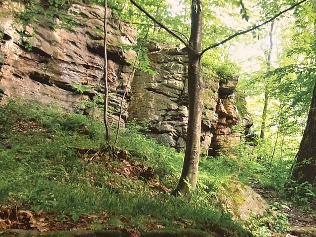
Fort Necessity National Battlefield
This is Jumonville Glen, part of Fort Necessity National Battlefield in Pennsylvania. On May 28, 1754, a young George Washington, then a lieutenant colonel with the Virginia Regiment, along with Native American allies, surprised a small French scouting party camped in this ravine. In the brief skirmish that followed, several French soldiers were killed, including their […]
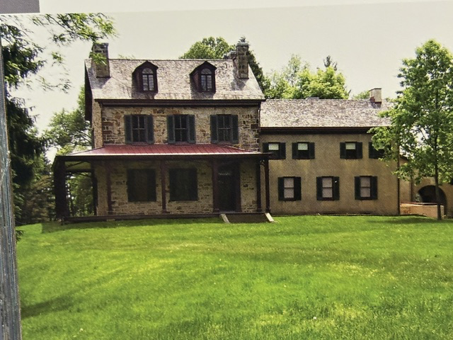
Friendship Hill National Historic Site
During our travels through southwestern Pennsylvania, we visited Friendship Hill National Historic Site, the country estate of Albert Gallatin. Gallatin was one of the most influential figures in the early history of the United States. Born in Switzerland, he immigrated to America and rose to become Secretary of the Treasury under Presidents Thomas Jefferson and […]