Loveland Pass and the Continental Divide
During our travels in Colorado, Marty and I stopped at Loveland Pass, where a sign marks the Continental Divide at an elevation of 11,990 feet. Surrounded by mountain ridges, we were standing at a boundary that shapes the journeys of rivers across much of the continent.
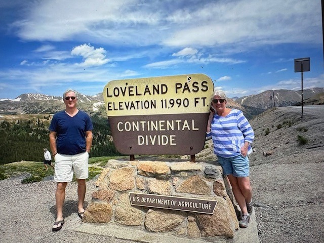
The Continental Divide separates watersheds draining toward different oceans. At Loveland Pass, water on the eastern side travels through the Clear Creek, South Platte, and Missouri–Mississippi river systems toward the Gulf of Mexico. On the western side, streams join the Colorado River system, which drains toward the Gulf of California. Rain or melting snow falling only a short distance apart can begin very different journeys.
The mountains also presented a formidable barrier to people traveling through Colorado. In 1879, William A. H. Loveland developed a road across the pass, creating a route through the high country during the state’s mining era. The crossing later became part of U.S. Highway 6.
Driving over the pass reveals the challenges that shaped mountain transportation: steep slopes, sharp curves, exposed terrain, and heavy snowfall. Roads had to follow routes the landscape would permit, connecting communities separated by rugged ridges.
Our stop gave a familiar geographic term a physical setting. The Continental Divide became a place where we could stand, look across the mountains, and consider how the same landscape directs flowing water and influences human travel. Loveland Pass brings those two stories together at a single crossing high in the Rockies.
Read More From Nancy
Andrew Carnegie Library
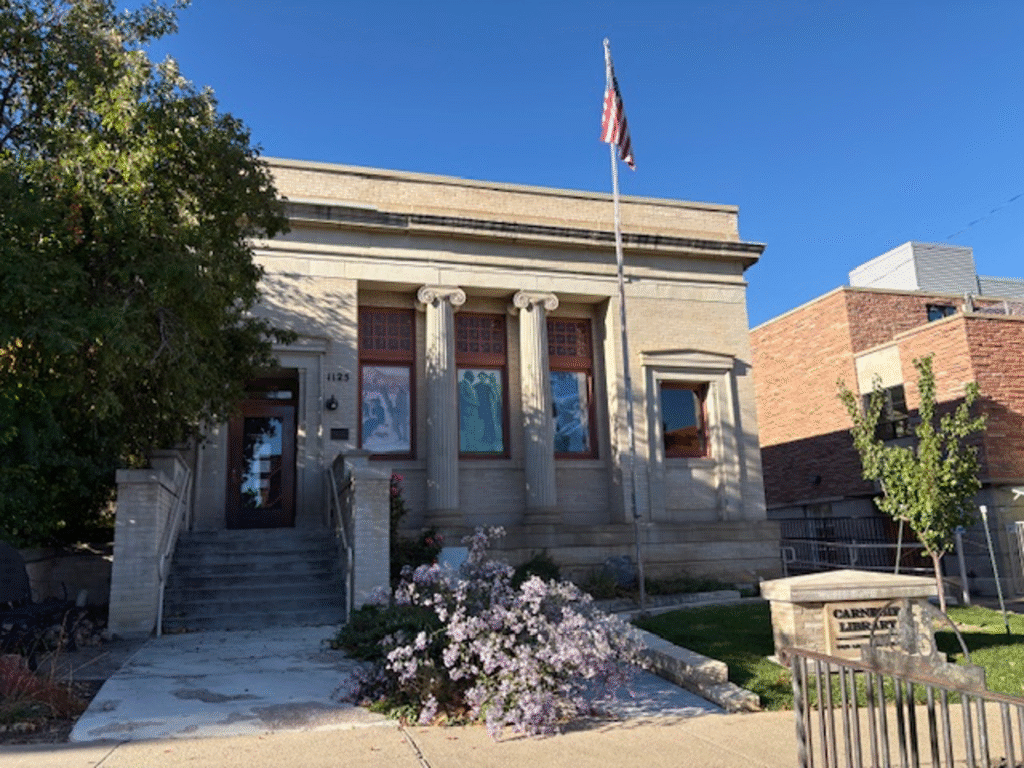
At the turn of the 20th century, Andrew Carnegie, a Scottish-born industrialist who rose from poverty to become one of America’s wealthiest men, turned his fortune toward a vision to make knowledge and education accessible to everyone. Carnegie wrote that the rich should act as stewards of their fortune to improve society. For him, the most powerful way to do this […]
Colorado Towns
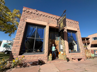
Ramblin’ through the small towns of Colorado, I am, of course, captured first by the extraordinary beauty of nature: the colorful aspens, the vast sky and the rhythm of rivers carving through the landscape. But what holds me the longest is not the landscape itself, but the traces of people who came before and the moments […]