Buffalo National River
The Buffalo River begins as a small stream in the Boston Mountains of northwestern Arkansas, approximately 15 miles above the national park boundary. Following a course believed to be very ancient, the river travels eastward through the Ozarks before joining the White River.
Over time, the Buffalo cut deeply into the surrounding plateau, creating massive limestone and sandstone bluffs, forested valleys, caves and gravel bars. The river changes character as it travels: its upper reaches contain swift water and narrow passages, while downstream sections become broader and more gently flowing.
During the mid-20th century, proposals were developed to dam the river. Residents, conservationists and members of the Ozark Society organized to preserve its free-flowing character. Their campaign helped establish a new form of federal protection focused on safeguarding an entire river corridor rather than a single landmark.
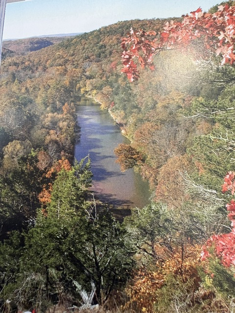
President Richard Nixon signed legislation creating Buffalo National River on March 1, 1972. It became the first national river in the United States. The National Park Service now protects 135 miles of the river, together with surrounding bluffs, forests, historic farms, cemeteries and former communities.
Canoeing, kayaking and floating remain among the most popular ways to experience the river. The surrounding landscape also provides opportunities for hiking, camping, fishing, horseback riding, wildlife observation and visits to historic homesteads. The protected corridor preserves both the natural course of the Buffalo River and the human history that developed along its banks.
Read More From Nancy
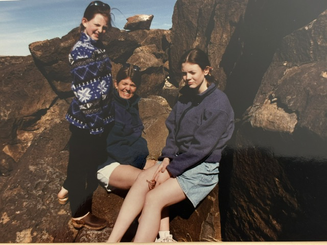
Petroglyph National Monument
Walking among the dark volcanic rocks outside of Albuquerque, is where Petroglyph National Monument is found. Centuries ago, there were people who stood in this landscape carving symbols and images into the stone. The monument preserves one of the largest collections of petroglyphs in North America, with designs created by Native peoples and later Spanish settlers […]
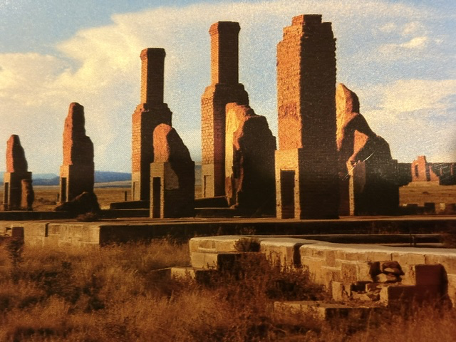
Fort Union National Monument
Standing among these towering chimneys, it takes a bit of imagination to picture what once stood here. Today, only the chimneys and fragments of stone walls remain, but this was once Officers’ Row at Fort Union, where some of the finest military quarters west of the Mississippi River stood. Completed in 1867, these elegant homes […]
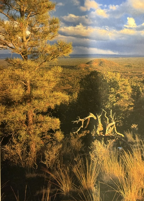
El Malpais National Monument
One of the striking landscapes we encountered at El Malpais National Monument in western New Mexico was the view of the volcanic cinder cones rising above a sea of lava flows, grasslands, and forests. Created by eruptions thousands of years ago, these cones are part of a vast volcanic field that has shaped the region’s […]