Kata Tjuta
When we traveled through Central Australia, Uluru was naturally one of the places we wanted to see. But not far away is another extraordinary landscape: Kata Tjuta, the massive group of rounded red-rock formations
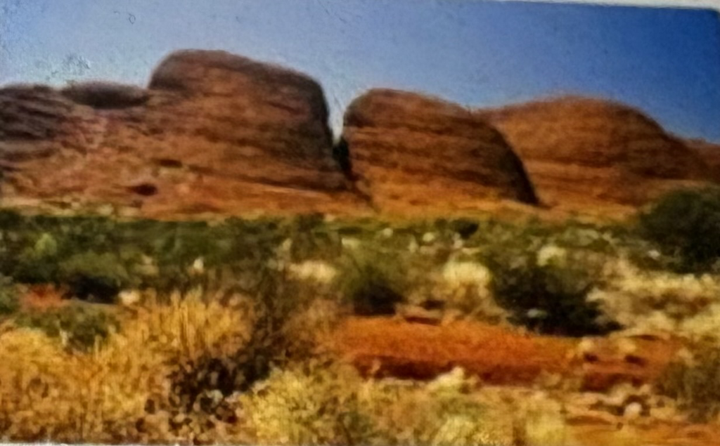
Kata Tjuta means “many heads” in the language of the Anangu, the Aboriginal people who are the traditional owners of this land. The formation consists of 36 enormous rock domes rising dramatically from the surrounding desert. Its highest point, Mount Olga, reaches about 1,066 meters above sea level and stands even higher above the surrounding landscape than Uluru.
European explorers once called the formation “the Olgas.” In 1872, explorer Ernest Giles named Mount Olga in honor of Queen Olga of Württemberg. Today, Kata Tjuta is the preferred name, reflecting the much older Anangu relationship with this place.
Kata Tjuta and Uluru are both protected within Uluru-Kata Tjuta National Park, but geologically they are quite different. Uluru is composed primarily of sandstone, while Kata Tjuta is made of a mixture of rock fragments and pebbles cemented together over immense periods of time. Erosion gradually exposed and sculpted the enormous rounded domes we see today.
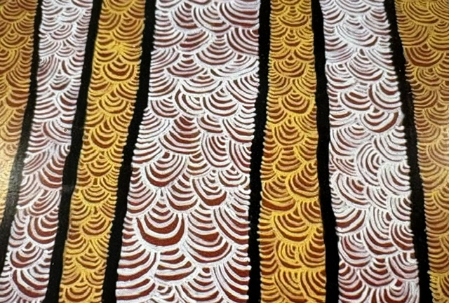
For the Anangu, Kata Tjuta is part of a living cultural landscape connected to Tjukurpa which is the system of traditional law, knowledge, relationships and ancestral stories that connects people with Country. Some of the knowledge associated with Kata Tjuta is sacred and is not shared with visitors.