Pictured Rocks National Lakeshore
Pictured Rocks National Lakeshore in Munising, Michigan, was the first National Lakeshore established in the United States when it was created in 1966. Stretching for more than 40 miles along the southern shore of Lake Superior, it preserves a remarkable landscape of colorful sandstone cliffs, secluded beaches, waterfalls, forests, sand dunes, and crystal-clear water.
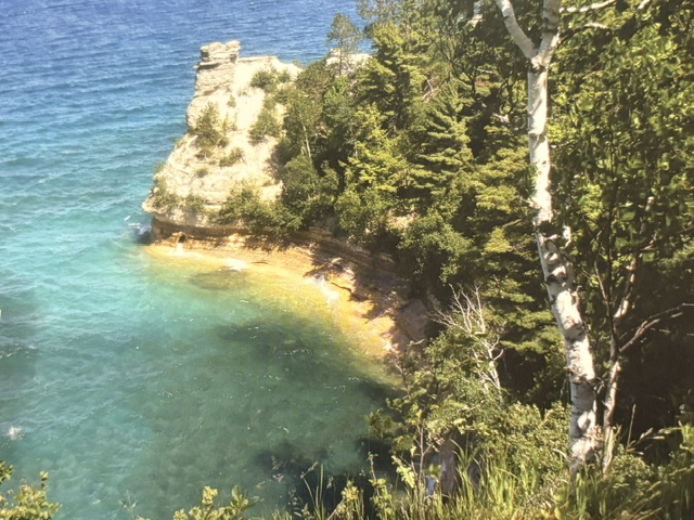
Erin and I visited Pictured Rocks during one of our summer trips through Michigan. While the overlooks from land are beautiful, we decided to take one of the boat cruises along the shoreline. It quickly became apparent why so many visitors recommend seeing the park from the water. The towering cliffs, sea caves, arches, and rock formations can only be fully appreciated from Lake Superior, where centuries of wind, waves, and ice have sculpted the shoreline into one of the Midwest’s most spectacular landscapes.
The cliffs take their name from the colorful mineral stains left by groundwater seeping through the sandstone. Iron creates shades of red and orange, copper produces blues and greens, manganese leaves black streaks, and limonite creates whites and yellows. Together they form natural paintings across the face of the cliffs, giving the park its distinctive name.
One of the things that impressed me most was the clarity and color of Lake Superior. Depending on the light, the water changed from deep blue to brilliant turquoise, making it hard to believe we were looking across one of the world’s largest freshwater lakes rather than an ocean coastline.
As our boat slowly followed the shoreline, I found myself appreciating the power of nature to shape the landscape over thousands of years. Every cliff, arch, and sea cave told the story of water, wind, and time working together. Pictured Rocks is one of those places that reminds us of some of America’s most beautiful coastlines are found not along the ocean, but beside the vast inland seas of the Great Lakes.

Read More From Nancy
Pony Express National Historic Trail
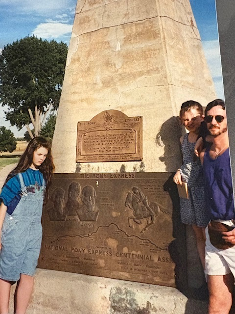
In the wide-open landscapes of the American West, communication was once slow, uncertain, and often perilous. Long before telegraph wires stretched across the continent, letters were the only way to stay connected across the plains, deserts and mountain ranges. Carrying the mail by horseback became one of the boldest experiments in frontier logistics ever attempted. This […]
Isle Royale National Park
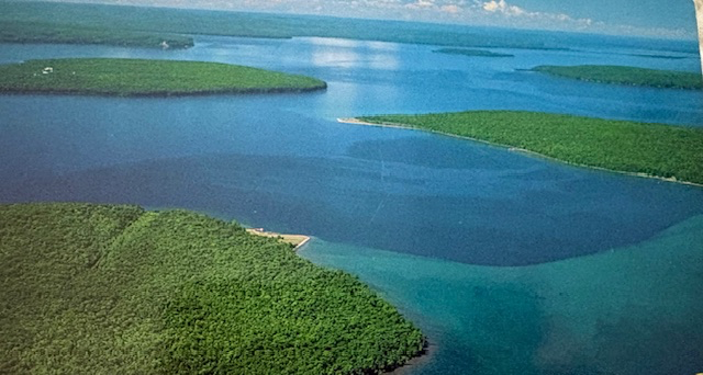
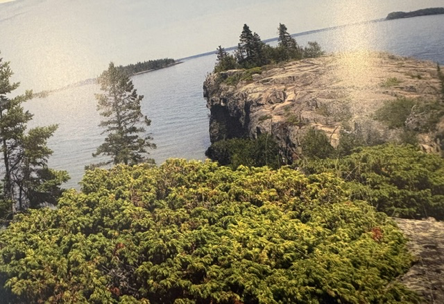
Accessible only by boat or seaplane, Isle Royale National Park occupies an isolated archipelago in the northwestern waters of Lake Superior. The park encompasses more than 850 square miles, including the main island, approximately 450 smaller islands and the surrounding submerged lands. It is the largest federally designated wilderness area in Michigan. The landscape is […]
Wilson’s Creek National Battlefield
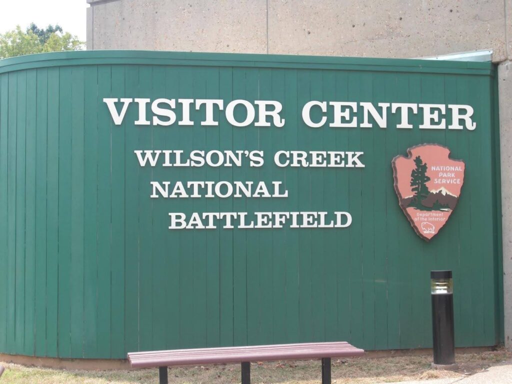
As I gather my photos from years of National Park exploration, there are many Civil War battlefields among them. These are sacred landscapes that once witnessed unimaginable bloodshed on our own U.S. soil. Missouri’s Wilson’s Creek is one of those places, marking a fiercely divisive battle during the earliest months of the Civil War. Preserved […]