Isle Royale National Park
Accessible only by boat or seaplane, Isle Royale National Park occupies an isolated archipelago in the northwestern waters of Lake Superior. The park encompasses more than 850 square miles, including the main island, approximately 450 smaller islands and the surrounding submerged lands. It is the largest federally designated wilderness area in Michigan.
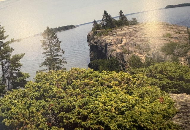
The landscape is shaped by rocky ridges, boreal forests, inland lakes and a rugged shoreline marked by coves and narrow channels. Its isolation has protected much of its wilderness character, creating a setting far removed from roads, cities and other features of modern life.
Isle Royale is particularly known for its populations of wolves and moose. Their changing relationship has been studied continuously for decades, making it one of the world’s longest-running predator-prey research projects. The park also protects forests, wetlands, fisheries and the remains of earlier copper mining, commercial fishing and lighthouse communities.
Congress authorized Isle Royale National Park on March 3, 1931, during the administration of President Herbert Hoover. The park was formally established on April 3, 1940, under President Franklin D. Roosevelt. Much of the park received federal wilderness protection in 1976. The limited accessibility, absence of roads and immense surrounding waters have allowed Isle Royale to remain one of the most remote and scenic national parks in the contiguous United States.

Read More From Nancy
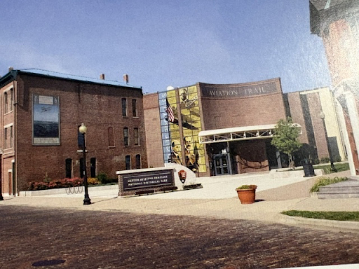
Dayton Aviation Heritage National Historical Park
While many people associate the story of flight with Kitty Hawk, it was here in Dayton that the real work of invention took place. The famous flight may have occurred on the sandy dunes of North Carolina, but the ideas, experiments, calculations and engineering that made it possible were born in Ohio. The Dayton Aviation Heritage National […]
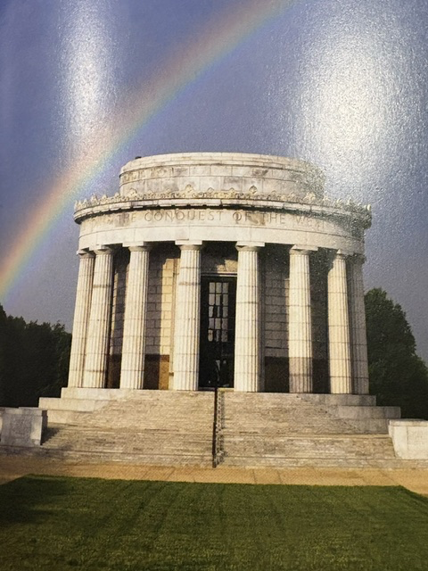
George Rogers Clark National Historical Park
Driving from the Chicago area after a weekend seminar, I found myself discovering one of the lesser-known sites in the National Park System: George Rogers Clark National Historical Park in Vincennes. Before this visit, I knew almost nothing about the history connected to George Rogers Clark or the important role Vincennes played during the American Revolution. The memorial is a massive […]
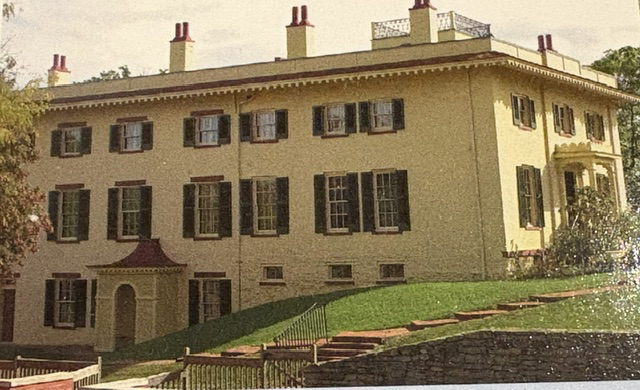
William Howard Taft National Historic Site
On a visit to Cincinnati, we stopped at the William Howard Taft National Historic Site, the home where William Howard Taft was born in 1857 and spent much of his childhood. The substantial Greek Revival house on Mount Auburn had been purchased by Taft’s father, Alphonso Taft, in 1851. The family expanded and remodeled it […]