Cuyahoga Valley National Park
The winding Cuyahoga River, whose name is commonly interpreted as “crooked river”, flows through a landscape of rolling floodplains, steep valley walls, narrow ravines and lush upland forests. Located between Cleveland and Akron, Cuyahoga Valley National Park protects more than 33,000 acres within one of Ohio’s most heavily populated regions.
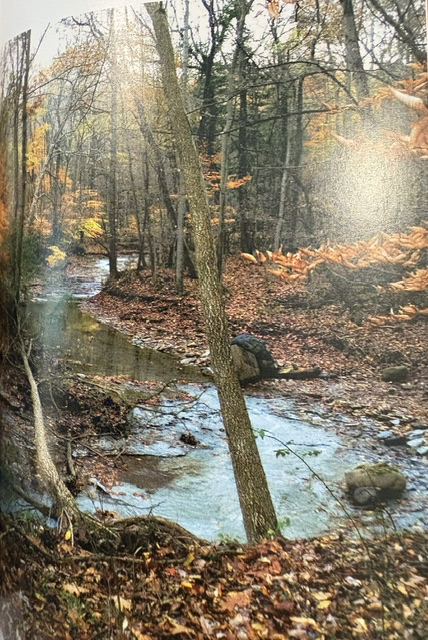
Water shapes much of the park. The Cuyahoga River travels for 26 miles through the valley, joined by numerous smaller streams that descend through forested ravines and over waterfalls. Brandywine Falls, where the water drops 65 feet into a rocky gorge, is among the park’s best-known natural features.
The river also carries an important environmental story. Once severely polluted by industrial waste and sewage, the Cuyahoga became nationally associated with river fires, particularly the fire of 1969. Decades of cleanup and restoration have brought fish and other wildlife back to sections of the river, although work to improve its water quality continues.
More than 140 miles of trails provide opportunities for hiking, bicycling and exploring the valley. The Ohio & Erie Canal Towpath Trail follows the historic path once used by mules pulling canal boats loaded with passengers and goods. Twenty miles of the trail pass through the national park, connecting natural areas with surviving canal locks, farms and historic communities.
President Gerald Ford signed the legislation creating Cuyahoga Valley National Recreation Area on December 27, 1974. The area was redesignated Cuyahoga Valley National Park on October 11, 2000, during the administration of President Bill Clinton. Today, the park preserves a landscape where flowing water, recovering forests, transportation history and the remains of Ohio’s canal era exist within reach of two major cities.
Read More From Nancy
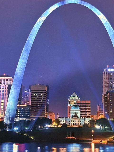
Gateway Arch National Park / Jefferson National Expansion Memorial
This is the Gateway Arch in St. Louis that rises 630 feet into the sky. Its stainless-steel curve is striking as it frames the city behind it and reflects the light that changes with the time of day. This monument is a symbol. It represents the westward expansion of the United States, marking St. Louis as […]
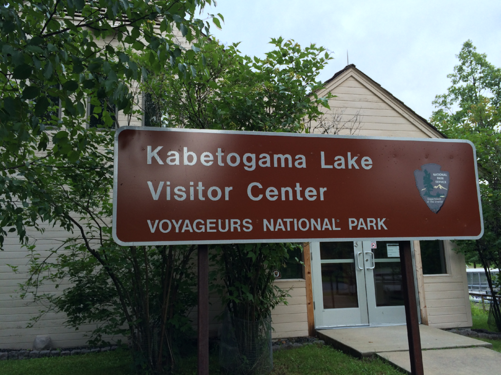
Voyageurs National Park
I have explored many National Parks on solo driving tours. There is something about the quiet rhythm of the road with long stretches of highway and time to think. Driving to Voyageurs in northern Minnesota was one of those journeys. I followed the North Shore of Lake Superior for part of the trip, marveling at its vastness. […]
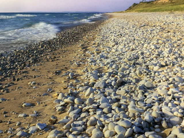
Sleeping Bear Dunes National Lakeshore
Some of America’s most remarkable landscapes were not shaped by rivers or mountains, but by ice. Sleeping Bear Dunes National Lakeshore preserves one of the finest examples of how glaciers transformed the Great Lakes region, creating a landscape where towering dunes, forests, inland lakes, islands, and miles of Lake Michigan shoreline exist side by side. […]