Big South Fork National River and Recreation Area
The free-flowing Big South Fork of the Cumberland River and its tributaries pass through approximately 90 miles of scenic gorges and valleys in southeastern Kentucky and northeastern Tennessee. The protected landscape encompasses about 125,000 acres of forested plateaus, sandstone cliffs, natural arches, rock shelters and river corridors.
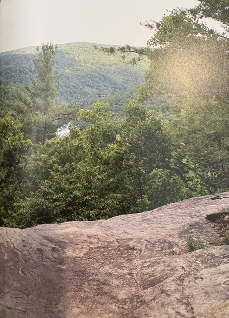
Water and erosion have shaped the region over millions of years. The river cut deeply into the Cumberland Plateau, exposing layers of sandstone and creating cliffs, overlooks and unusual rock formations. Numerous natural arches are scattered throughout the area, including Twin Arches, one of the largest natural bridge formations in the eastern United States.
The landscape also preserves the history of the people who lived and worked along the river. Farms, cemeteries, railroad remnants and former coal-mining communities record generations of settlement and industry. At Blue Heron, an outdoor interpretive site tells the story of a mining community that operated along the river during the first half of the 20th century.
Congress authorized Big South Fork National River and Recreation Area on March 7, 1974, during the administration of President Richard Nixon. The United States Army Corps of Engineers initially developed the recreation area before management was transferred to the National Park Service in 1991.
The area offers hiking, horseback riding, mountain biking, camping, fishing, paddling, climbing and wildlife observation. Its extensive trail system and free-flowing river allow visitors to experience both the natural features of the Cumberland Plateau and the cultural history preserved within its valleys.
Read More From Nancy
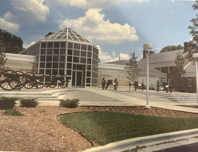
Chickamauga and Chattanooga National Military Park
Every national park tells a story, but Chickamauga and Chattanooga National Military Park occupy a unique place in the history of the National Park System. Established by Congress on August 19, 1890, and signed into law by President Benjamin Harrison, it became the first national military park in the United States. More than simply preserving […]
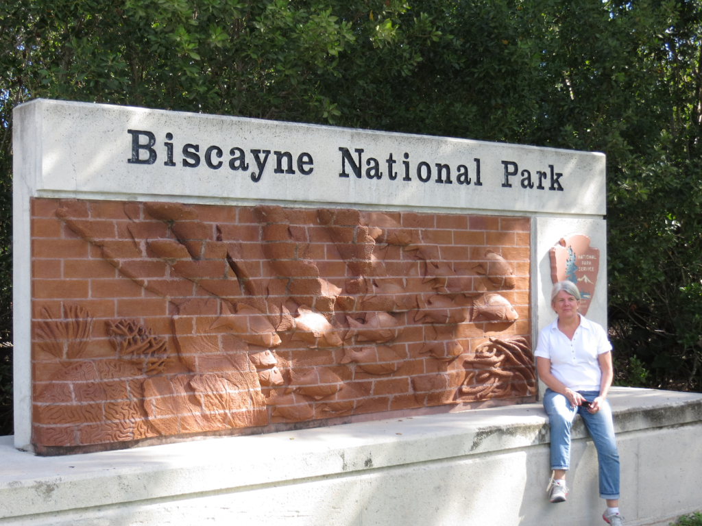
Biscayne National Park
Just south of Miami’s skyline lies a park that is nearly entirely water. Biscayne National Park was established in 1980 by President Jimmy Carter to protect one of the most fragile ecosystems in the country: mangrove shorelines, seagrass beds, coral reefs and the northernmost keys of the Florida Reef Tract. Nearly 95% of the park is […]

Natchez National Historical Park
This is Melrose, one of the centerpiece homes within Natchez National Historical Park in Natchez, and it reflects another chapter of American history. Built in the 1840s, Melrose is a classical example of the Greek Revival style, with its columns and symmetry. What sets it apart is not just the architecture, but the way the […]