Potomac Heritage National Scenic Trail
Some National Park units are defined by a single destination. The Potomac Heritage National Scenic Trail is different. Rather than leading visitors to one landmark, it connects hundreds of miles of landscapes, historic sites, and communities linked by one of America’s most important rivers. It is a journey through both nature and history, following routes that have shaped the nation for centuries.
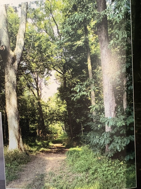
Established by Congress in 1983, the Potomac Heritage National Scenic Trail extends from the mouth of the Potomac River on the Chesapeake Bay through Maryland, Virginia, Pennsylvania, and the District of Columbia to the Allegheny Highlands. Unlike a single continuous trail, it is a network of existing trails, waterways, and historic routes that together tell the story of the Potomac River and the people who have lived, traveled, and worked along its shores.
Long before Europeans arrived, Indigenous peoples used these river corridors as transportation routes, hunting grounds, and places of trade. Later, colonial settlers recognized the importance of the Potomac as a gateway into the American interior. Among them was George Washington, who explored much of this region as a young surveyor. He believed the Potomac River could become the nation’s principal route connecting the Atlantic coast with the growing settlements west of the Appalachian Mountains. Visitors walking sections of the trail today often follow the very landscapes that Washington knew more than two centuries ago.
What makes the Potomac Heritage National Scenic Trail unique is its variety. A single journey may include forest paths, canal towpaths, Civil War battlefields, river overlooks, quiet country roads, and bustling urban waterfronts. The trail can be explored on foot, by bicycle, on horseback, or by canoe and kayak, allowing visitors to experience the region much as generations before them did.

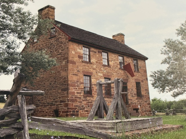

Read More From Nancy
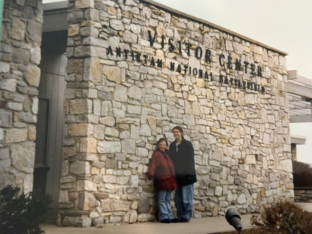
Antietam National Battlefield
Located near the town of Sharpsburg, Antietam was the site of the Battle of Antietam fought on September 17, 1862. It remains the bloodiest single day in American military history with over 22,000 soldiers killed, wounded or missing in just one day of fighting between Union and Confederate forces. The landscape at Antietam now seems peaceful in […]
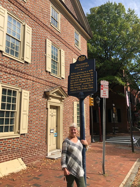
Thaddeus Kosciuszko National Historical Park
I visited the Thaddeus Kosciuszko National Historical Park a few years ago. Tucked along a narrow street in Philadelphia’s Society Hill neighborhood is a house that reveals the story of a man whose ideals helped shape two nations. Thaddeus Kosciuszko was a Polish-born military engineer and idealist who came to America during the Revolutionary War. He […]

Flight 93 National Memorial
I visited the Flight 93 site when the memorial was still in its early stages. There was very little there compared with the national memorial that has since been created. In some ways, that sparseness made the experience even more poignant. There were few distractions from the landscape itself and from the events that had […]