Mississippi National River and Recreation Area Minneapolis
While we were in Minneapolis teaching, we took some time to explore the Mississippi River. I had always associated the Mississippi with places much farther south, so it was particularly interesting to see the river here in Minnesota, relatively near the beginning of its long journey across the country.
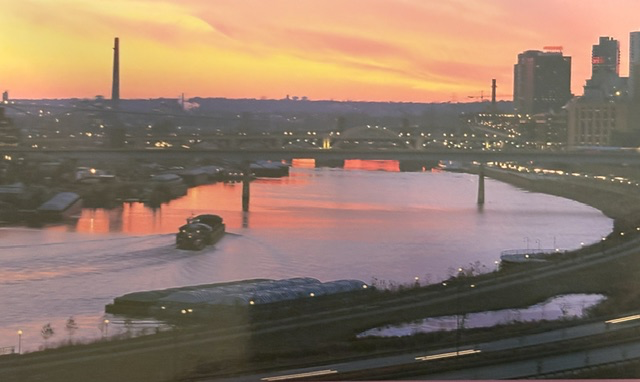
The Mississippi begins at Lake Itasca in northern Minnesota and travels approximately 2,350 miles before reaching the Gulf of Mexico. By the time it passes through Minneapolis and St. Paul, it has already grown considerably from the small stream that leaves Lake Itasca. Here it becomes part of the Mississippi National River and Recreation Area, a 72-mile corridor extending through the Twin Cities metropolitan region.
We experienced this section of the river from the water. This is a working river flowing directly through a major metropolitan area, surrounded by bridges, buildings, railroads, industry, and neighborhoods. Barges and towboats are still part of the landscape, continuing the river’s long role as a transportation and commercial route.
The river was instrumental in the development of both Minneapolis and St. Paul. St. Anthony Falls provided the waterpower that helped make Minneapolis a major flour- and lumber-milling center, while St. Paul developed as an important river port and, for many years, the head of navigation on the Upper Mississippi.
Congress established the Mississippi National River and Recreation Area on November 18, 1988, recognizing the historical, recreational, scenic, cultural, natural, economic, and scientific importance of this section of the river. Unlike many National Park sites, the National Park Service owns very little of the land. Instead, it works with local communities, state agencies, and other organizations to protect and interpret the river and its surrounding landscape.
Read More From Nancy
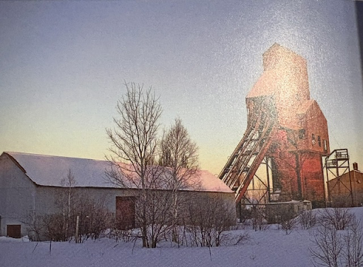
Keweenaw National Park
Traveling through Michigan’s Upper Peninsula with Erin was one of those special road trips that remains long after the journey ends. The Upper Peninsula feels like a world apart from the rest of Michigan. As we explored the region, I was especially drawn to the story of the people who came here seeking opportunity. The history […]
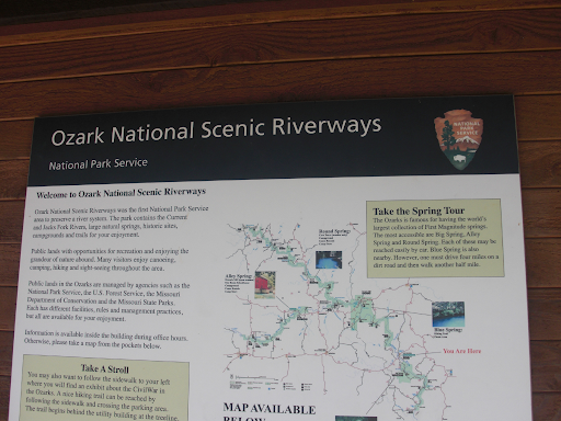
Ozark National Scenic Riverways
Traveling into the Ozarks of Missouri, I came to the Ozark National Scenic Riverways, a place defined not by mountains or monuments, but my water. Here the landscape is shaped by two rivers: The Current River and the Jacks Fork River, both fed by some of the largest natural springs in the country. The water is clear, […]
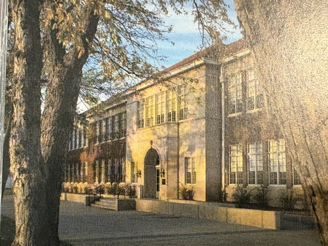
Brown v. Board of Education National Historical Park
While teaching in Kansas, I made a point of visiting the Brown v. Board of Education National Historical Park. Housed in the former Monroe Elementary School, this site commemorates the landmark 1954 Supreme Court decision that declared racial segregation in public schools unconstitutional and helped launch the modern Civil Rights Movement. There was so much I […]