Cliffs of Moher
Erin and I drove around Ireland looking to experience as many of its highlights as we could, and the Cliffs of Moher were one of the places we set aside a day to explore. This was not a place to simply stop, take a photograph and move on. We spent time walking along the cliffs, looking out over the Atlantic and experiencing a landscape that photographs have difficulty capturing.
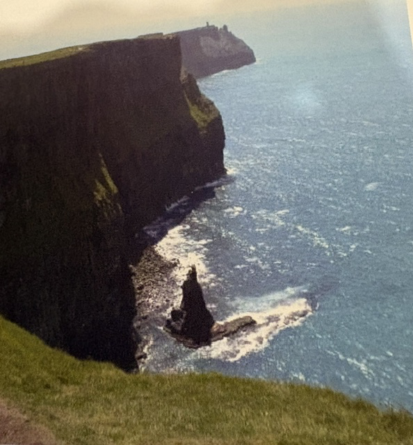
The Cliffs of Moher stretch for about eight kilometers along the western coast of County Clare. At their highest point they rise more than 700 feet above the Atlantic Ocean. Standing at the top, the scale becomes much more apparent. Far below, waves continually strike the base of the cliffs, while the Atlantic seems to extend endlessly toward the horizon.
The cliffs themselves tell a story hundreds of millions of years old. Layers of sandstone, siltstone and shale were formed from sediments deposited more than 300 million years ago. Since then, water, wind and especially the relentless force of the Atlantic have gradually carved the coastline into the sheer cliffs we see today.
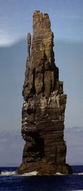
One of the most dramatic results of that erosion is the great sea stack standing offshore. Sea stacks begin as part of the coastline. Waves exploit cracks and weaknesses in the rock, gradually creating caves and arches. Eventually an arch collapses, leaving an isolated column of rock surrounded by the sea. Even that remaining tower is temporary on a geological scale; the Atlantic continues to reshape it.
At the cliffs is another reminder that people have been coming here to admire this landscape for generations. O’Brien’s Tower was constructed in 1835 by local landowner Cornelius O’Brien as an observation tower for visitors. Nearly two centuries ago, travelers were already making their way to this edge of Ireland simply to stand and look out over the same extraordinary view.
The cliffs are also an important habitat for seabirds. Tens of thousands of birds use the cliffs during nesting season, including razorbills, guillemots and the colorful Atlantic puffin. The sheer rock faces that appear so inhospitable to us provide protected nesting places above the ocean.
What I remember most is the feeling of being at Ireland’s western edge. Erin and I had been driving through towns and countryside, visiting the places we had come to Ireland to see, and suddenly we were standing more than 700 feet above the Atlantic.
Read More


Read More From Nancy

Guinness Storehouse
While visiting Ireland, we toured the Guinness Storehouse at St. James’s Gate in Dublin. I do not have photographs from inside the tour, but the visitor guide reminds me of our journey through the building and the pint of Guinness we enjoyed in the Gravity Bar on the upper floor. From there, the windows offered […]
The Shrine of St. Valentine
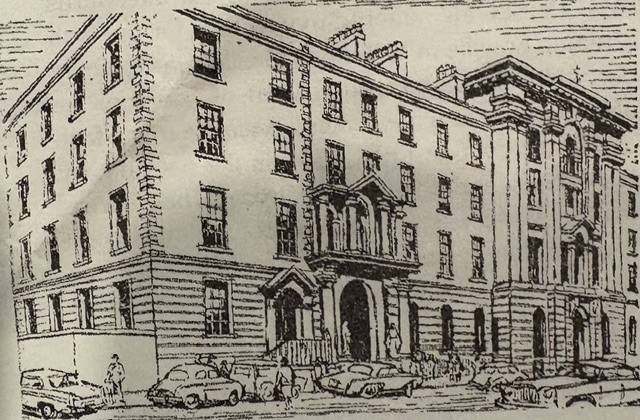
While walking through Dublin, we were caught in the rain and decided to take shelter inside the Church of Our Lady of Mount Carmel, commonly known as Whitefriar Street Church. What began as an escape from the weather led us to one of Dublin’s most unexpected religious treasures: the Shrine of St. Valentine. The church […]
St. Kevin’s Church
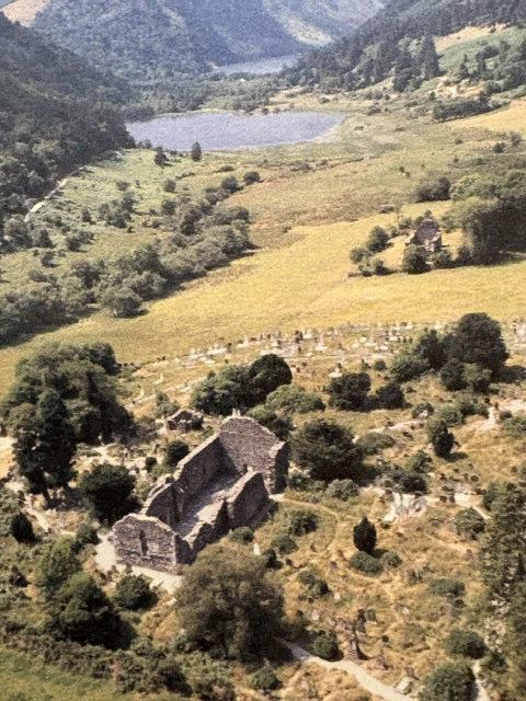
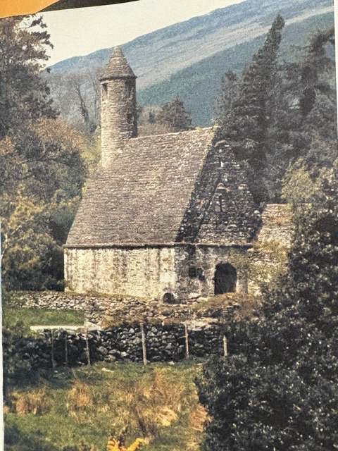
When Erin and I first arrived in Dublin, our first excursion took us south into the Wicklow Mountains and the glacial valley of Glendalough. The valley is best known for the religious community founded by St. Kevin during the sixth century. What began as a place of solitude gradually attracted followers and developed into an […]