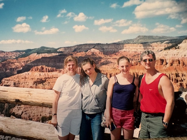
Bryce Canyon National Park
Bryce Canyon National Park is located in southern Utah on the Paunsaugunt Plateau, with elevations ranging from 8,000 to over 9,00 feet. Despite its name, it is not a canon formed by a river. Instead, it is a series of natural amphitheaters carved into the edge of a plateau through erosion.
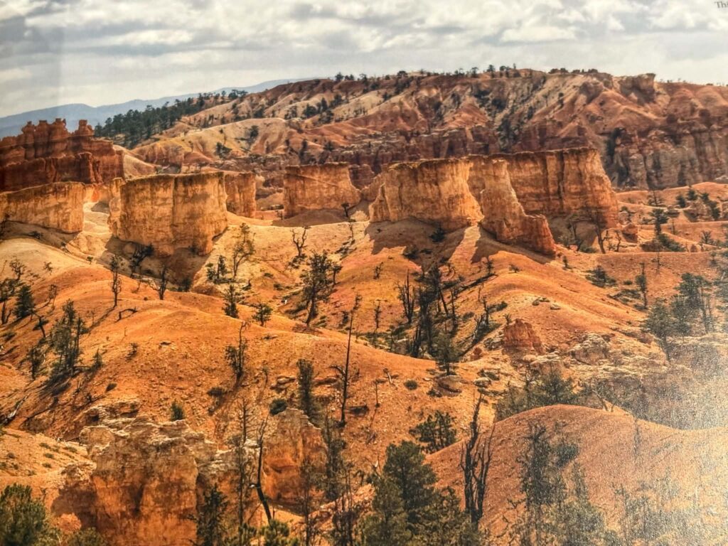
The park is best known for its hoodoos: tall, narrow rock spires formed primarily through freeze-thaw weathering. Water seeps into cracks in the limestone, freezes, expands and gradually breaks the rock apart. Over years, this process, combined with erosion, created the dense forest of red, orange and white formations seen today.
Bryce was designated a National Monument in 1923 by President Warren G. Harding and later established as a National Park in 1928 under President Calvin Coolidge. The park was named after Ebenezer Bryce, a Mormon settler who lived in the region in the late 1800s.
Having visited Bryce in different seasons, the variation in landscape is notable. In the summer, the amphitheatre glows in warm tones. In winter, snow settles along the hoodoos, sharply contrasting white against red rock.
Staying at the historic Bryce Canyon Lodge, located within the park near the rim, provides direct access to the landscape. The Lodge, originally built in the 1920s, is part of the early National Park Service rustic architecture style. From there, it is possible to walk to the rim before dawn.
Sunrise and sunset are particularly significant at Bryce. As the sun rises, light moves gradually across the amphitheater, illuminating the hoodoos in stages and intensifying their color. At sunset, shadows lengthen and formations deepen in tone as the light lowers toward the horizon.
Bryce Canyon National Park stands as a preserved example of plateau erosion and high-elevation desert geology. Its formation is the result of measurable, ongoing natural processes and its protection ensures that those processes remain intact for future visitors.
Read More From Nancy

Grant-Kohrs Ranch National Historic Site
On a road trip to Glacier National Park, we took a few side trips to see more of the beautiful state of Montana. We followed long stretches of open road with expansive valleys and distant mountain ranges. One of our destinations along the way was the Grant-Kohrs Ranch. Coming from the East, it is difficult […]
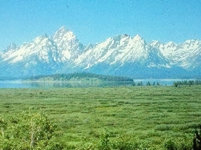
Grand Teton National Park
We chose to stay in the lodge within the Grand Teton National Park to be present for the light throughout the day. In the Tetons, the light brushes the snow-capped peaks with soft pinks and golds in the morning with blue and silvers in the evening. There is no way I could choose which national park […]
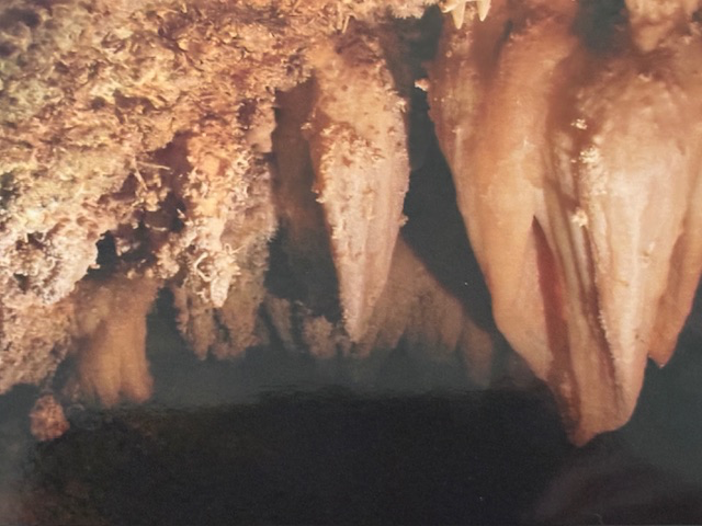
Timpanogos Cave National Monument
On a solo trip, I flew into Salt Lake City and made my way into the mountains towards Timpanogos Cave National Monument. The drive led me away from the city and into the Wasatch Range. The caves are hidden within the mountains and inside holds features that seem to ignore the rules: these delicate formations that […]