Eider Point on Unalaska Island – Aleutian Island
1942Dearest Reader,
This photograph my father sent home is of water, land and sky and without the words on the back, I would not know where this was located. My father wrote on the back:
“LOOKING FROM ISLAND AMAKNAK, DUTCH HARBOR ACROSS TO EIDER POINT ON UNALASKA ISLAND, EIDER POINT KNOWN AS FORT LEANARD OF “B” BTRY 264 CA”
With this brief description, my father placed himself firmly in the Aleutian Islands during World War II, at one of the most remote and strategically critical locations in the American war effort. He was standing on Amaknak Island, part of the natural harbor system at Dutch Harbor, looking across the cold, often fog-laden water toward Eider Point on Unalaska Island.
Across that stretch of water stood Fort Learnard, home of Battery B, 264th Coast Artillery, my father’s unit. This was a defensive line of sight. The guns positioned at Eider Point were tasked with protecting Dutch Harbor from enemy ships and aircraft, guarding important naval and supply hubs in the North Pacific.
In 1942, Dutch Harbor had already proven its vulnerability. In June of that year, Japanese aircraft attacked the harbor, damaging installations and killing military personnel and civilians.
The assault was part of the broader Aleutian Campaign, which led to the occupation of Attu and Kiska, marking the only instance during World War II in which enemy forces occupied American soil.
Life in the Aleutians was shaped as much by the environment as by the enemy. Fog rolled in without warning. Wind and cold were constant. Isolation was profound. My father’s photo shared this remote place and shared the names of the islands. Standing on Amaknak Island, looking toward Eider Point, my father captured his world inhabited during the war: a distant frontier and a guarded harbor.
Dr. Nancy Watson
Rambling With Nan
Washington
Read More From Nancy
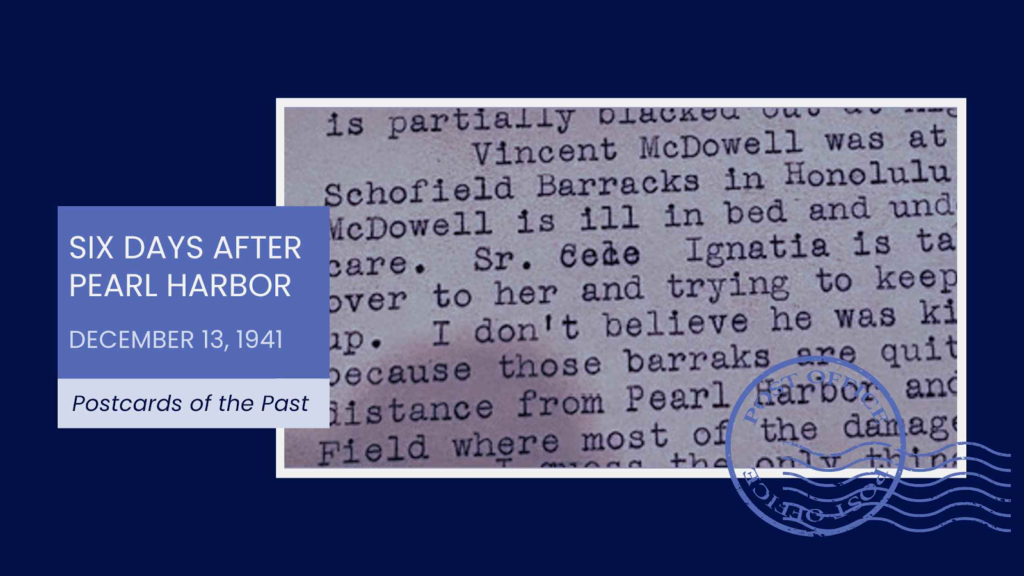
Six Days After Pearl Harbor
In another passage of her December 13, 1941 letter, my grandmother reveals how personally the attack on Pearl Harbor was being felt, even far from Hawaii. The war was no longer an abstract headline, it had names, faces and families attached to it. She wrote: “Vincent McDowell was at Schofield Barracks in Honolulu. Mrs McDowell […]
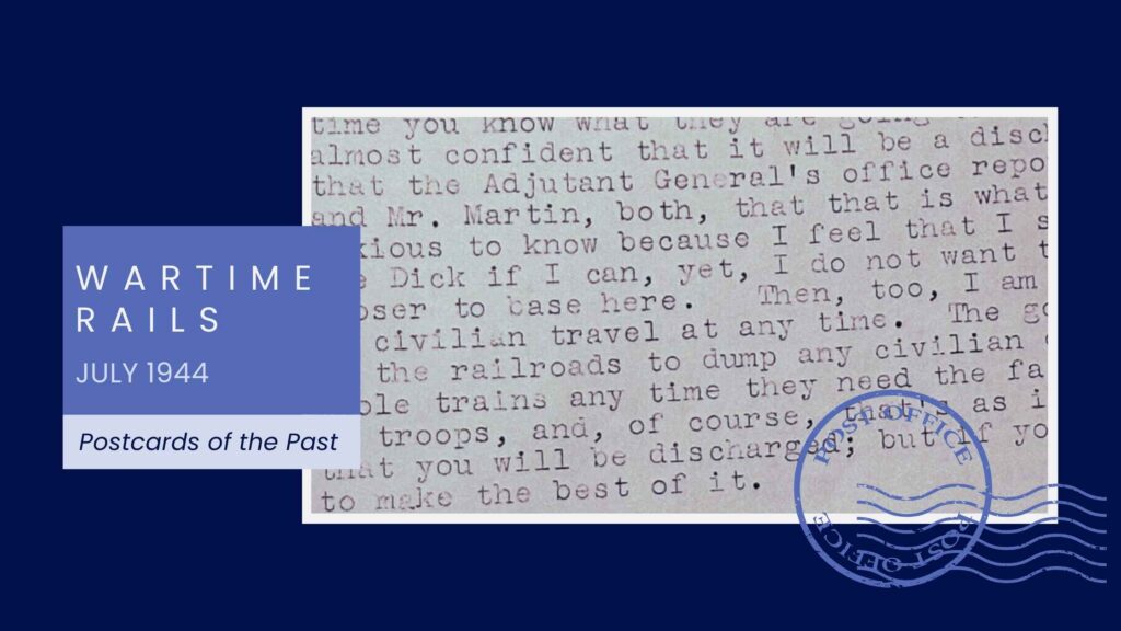
Wartime Rails
On Thursday, July 6, 1944, my grandmother sat at her typewriter once again to write to my father. It seems she wrote every day with letters mixed of small local happenings, the weather and some words of advice for her only son. In this letter her daily life intersects with the larger rhythm of a […]
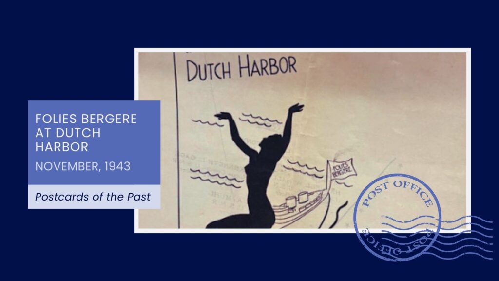
Folies Bergere at Dutch Harbor
In November 1943, my father was stationed in the Aleutian Islands, at Dutch Harbor, one of the most remote and strategically important American outposts of World War II. From there, he mailed home small pieces of memorabilia so my mother could glimpse the life he was living at the far edge of the continent. Among those […]